Date: 22-08-2015 09:13-10:57 UTC![]()
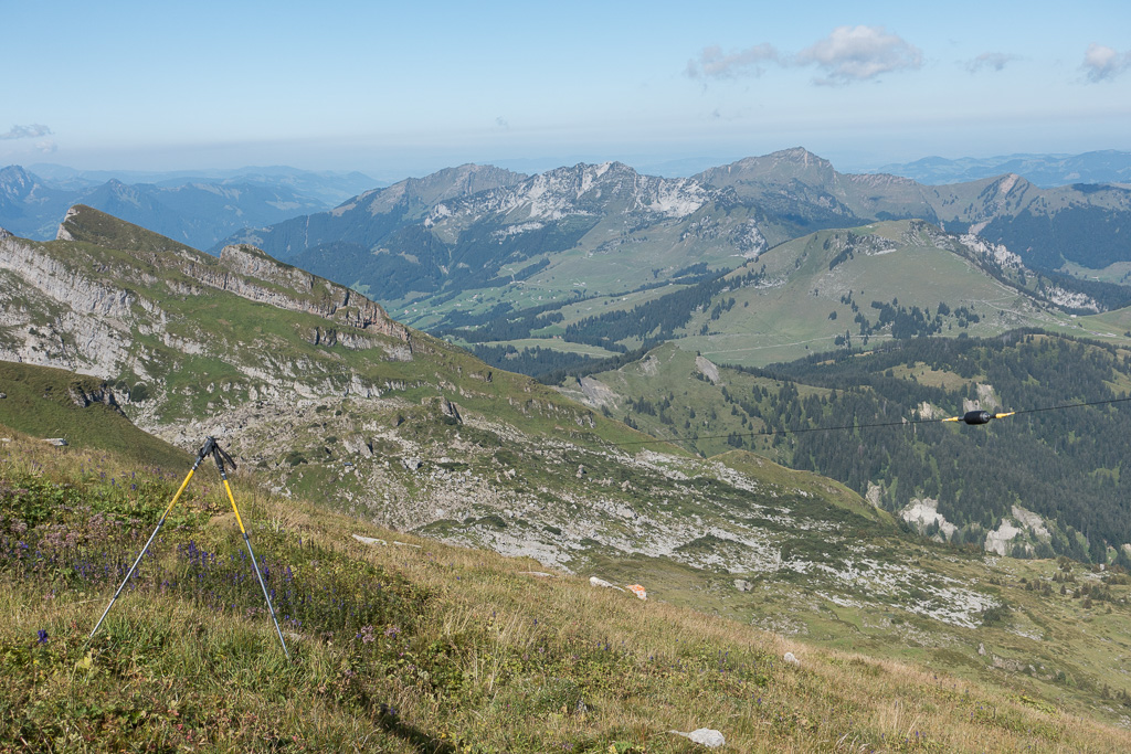
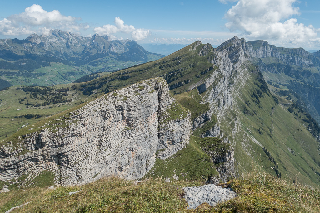
The Schären belongs to the Churfirsten group and has only been activated twice before by HB9AFH. It is not so popular among hikers, as there is no marked path up there. I estimate the difficulty a good T3 on the SAC scale. It is mostly a (steep) grass hill, but there are a few rock faces where a way has to be found around them (see photos below). Fortunately, Clemens HB9EWO was with me, he’s an experienced hiker and found a good route around the rocky parts easily. The GPS track is available on sotamaps.org.
Getting there: There’s a quite spectacular cable car (CHF 18.- two way) going up from Starkenbach, saving the first 600m altitude. There’s limited parking available next to the cable car station.
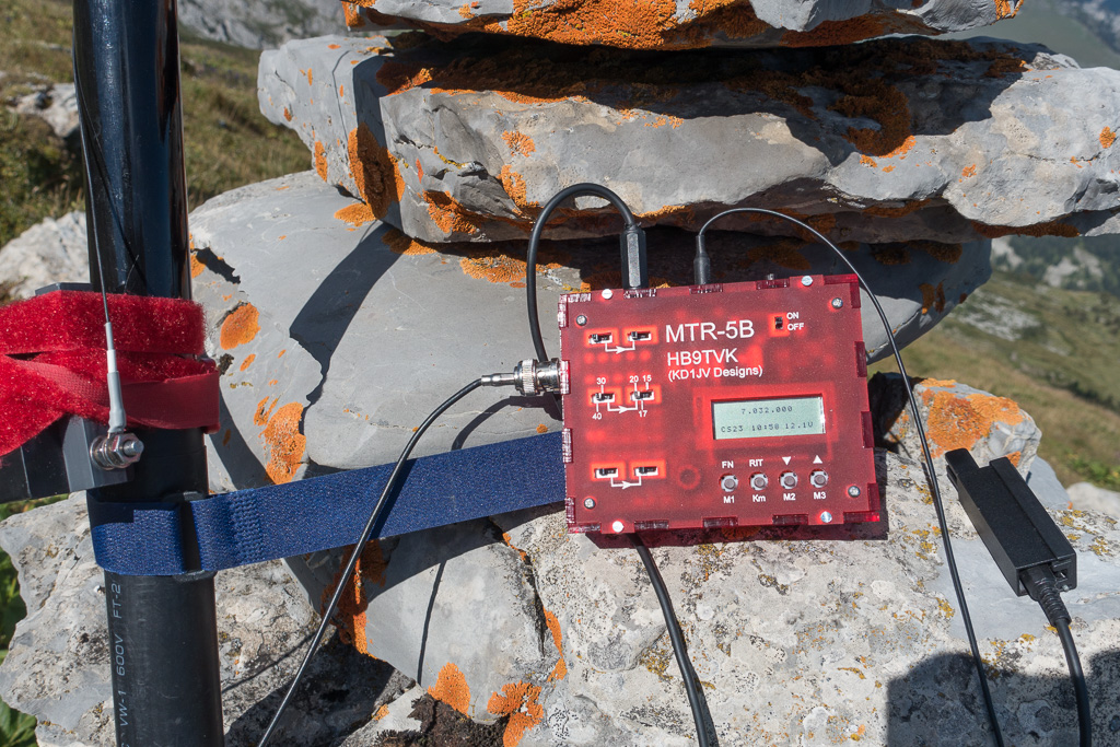
Despite the grass being a bit wet, the soft ground provided good traction, which is important in such steep areas. The view from the top is breathtaking, as on all Churfirsten. Dozens of other SOTA summits can be seen 360 degrees around. On the summit, there’s a small (about 50cm) metal pole holding a case for the summit book. It is very well suited to tie an antenna mast to it. As I left the pole to Clemens, I setup my antenna a few meters below at a stone cairn. I brought a new rig I just finished building, an MTR-5B designed by Steve Weber KD1JV. As expected from a KD1JV rig, it performed flawlessly. Although it offers 5 bands, I could test only 40m and 30m, due to the matching antenna.
QSO: 34 (25 on 40m, 9 on 30m)
S2S: HB9BAB/P (HB/ZH-015), HB9BIN/P (HB/NW-015), M0IML/P (G/SE-015), DL/OK1NF/P (DM/SX-001), LX/DL6CGC/P (LX/LX-003)
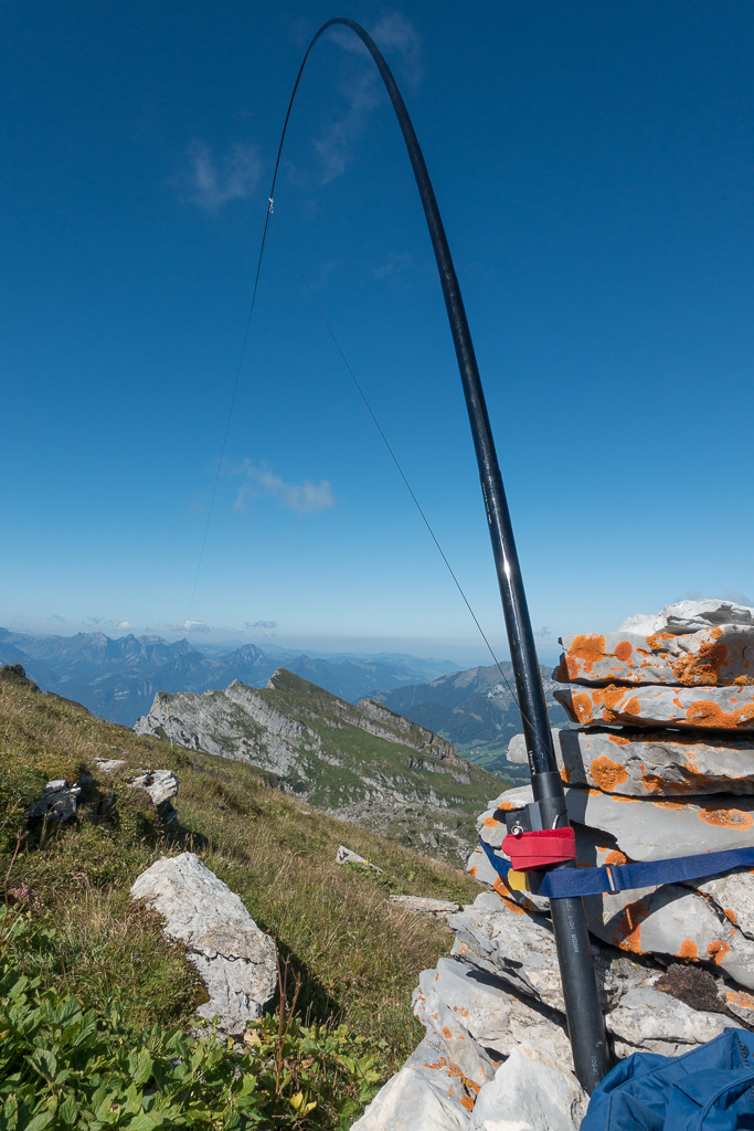
Rig: MTR-5B, Par EndFedz 30/40
Hiking distance: 4.1 km
Hiking duration: 2h 5min
Ascent: 690m
-
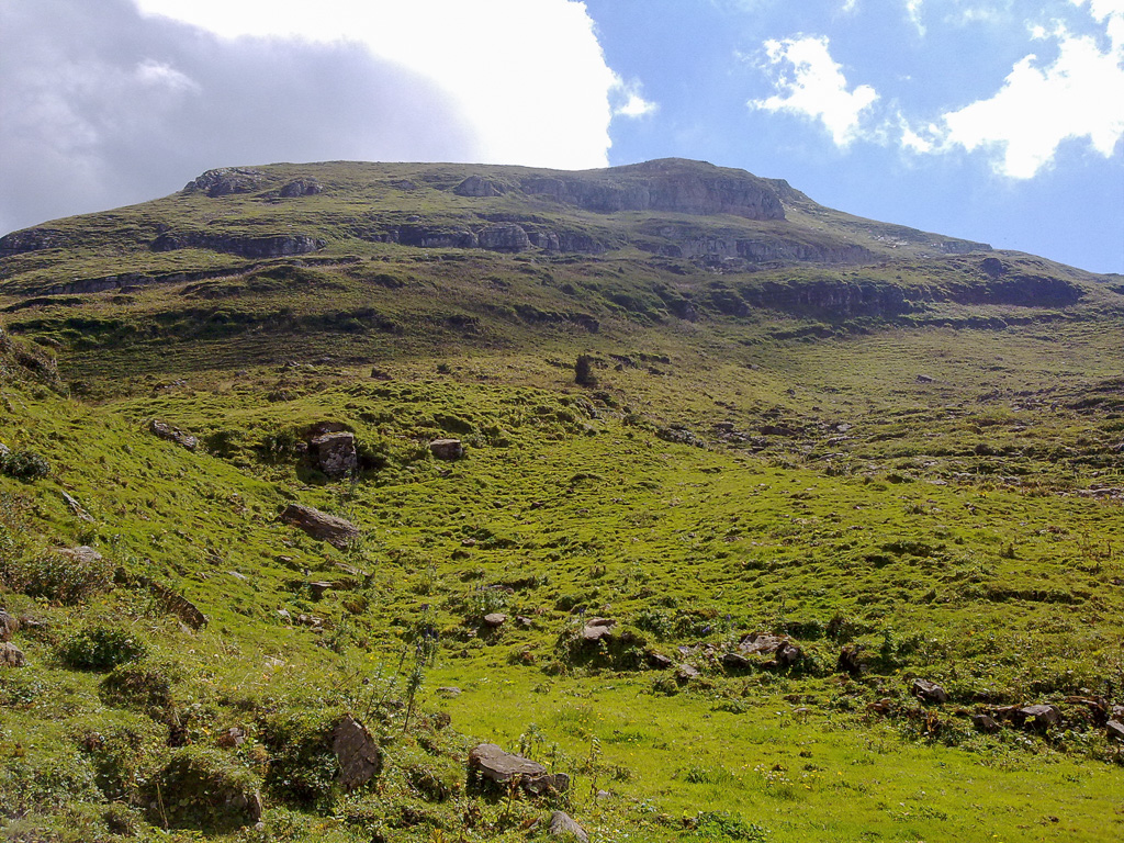
- Schären ahead on the way from the cable car
-

- Getting closer
-
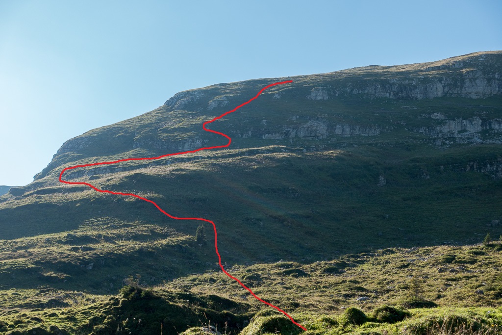
- Our path between the rocks
-
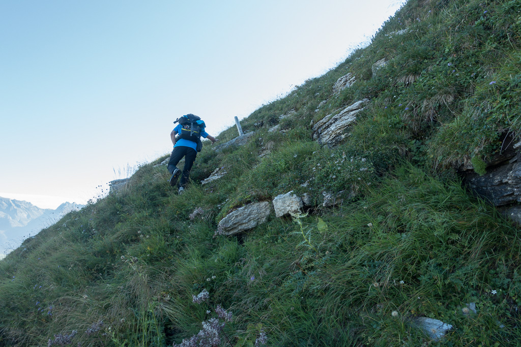
- Clemens leading the way
-
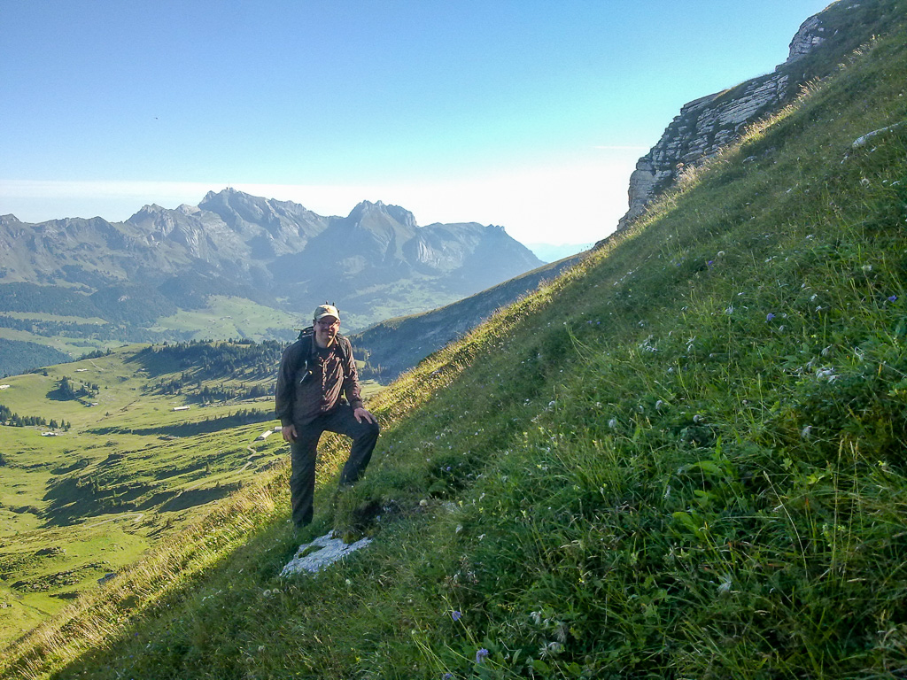
- Yes, it’s steep… Säntis AI-001 in the background
-
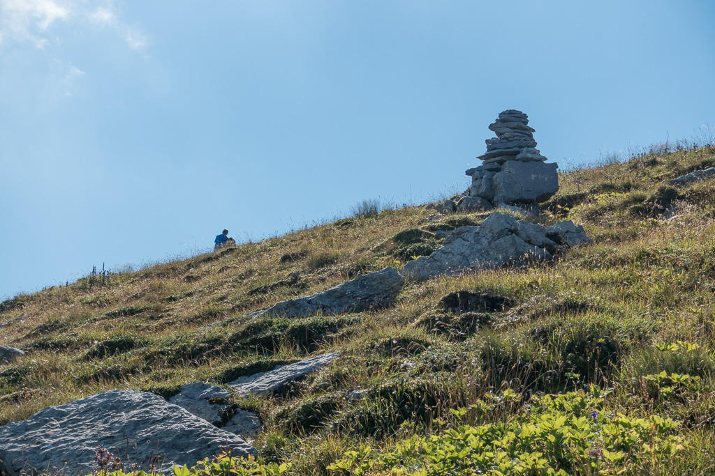
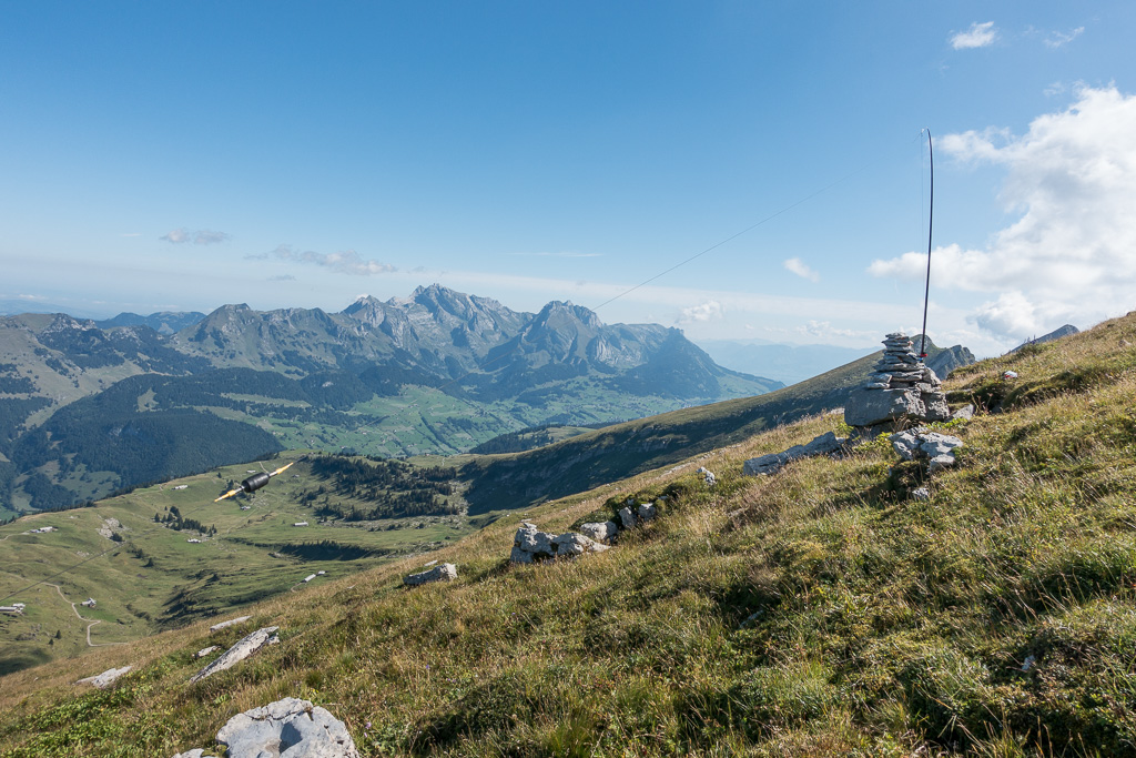
- Stone cairn a few meters below the summit
-
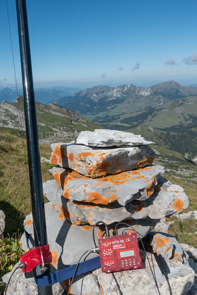
- Brand new MTR-5B rig
-

- Working the chasers
-
- EFHW for 30m/40m
-
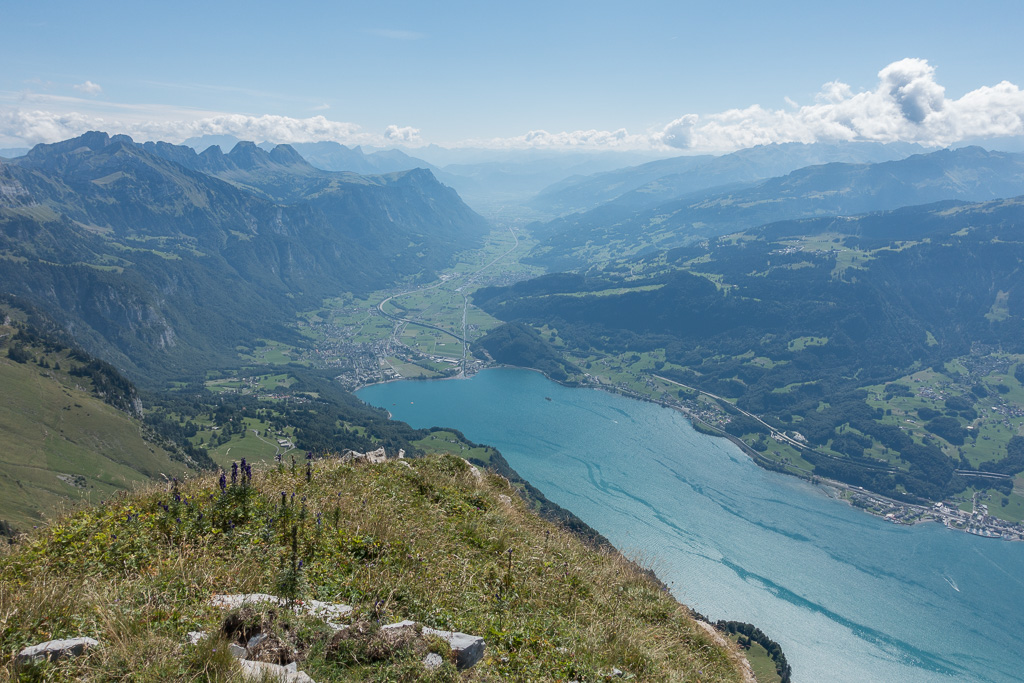
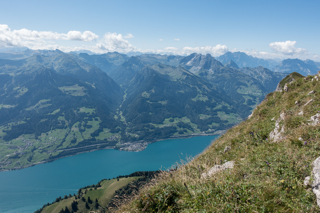
- View down to the Walensee
-
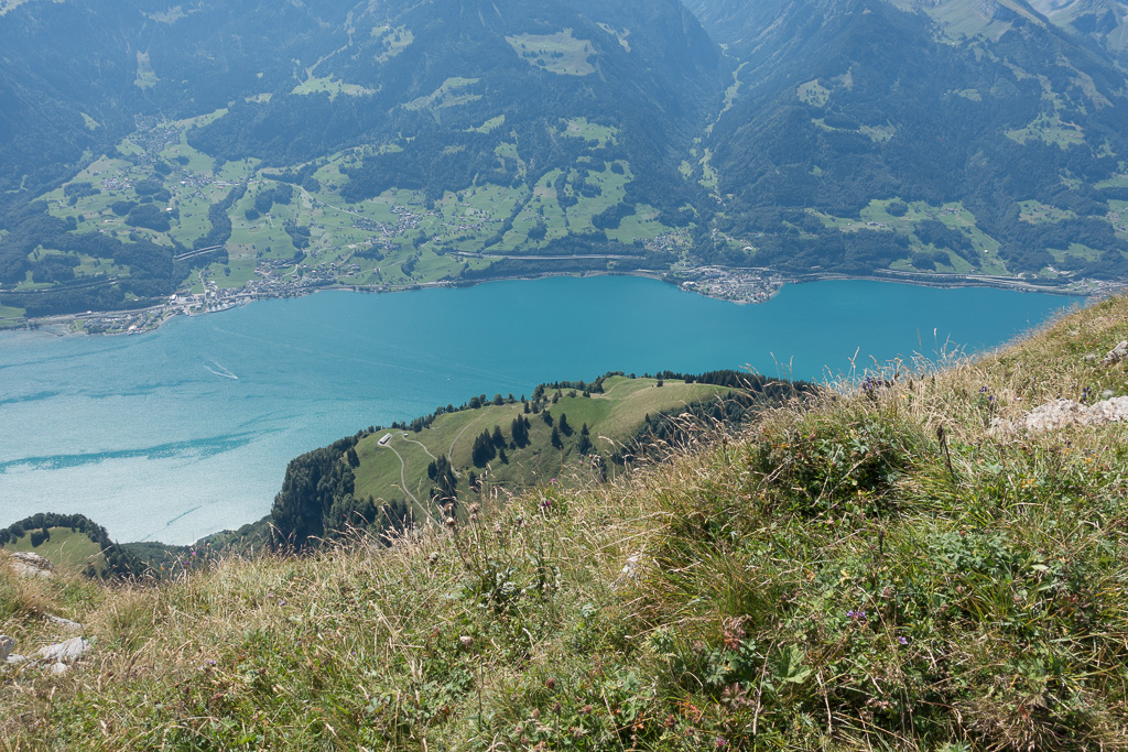
- Second peak is Selun SG-049
-
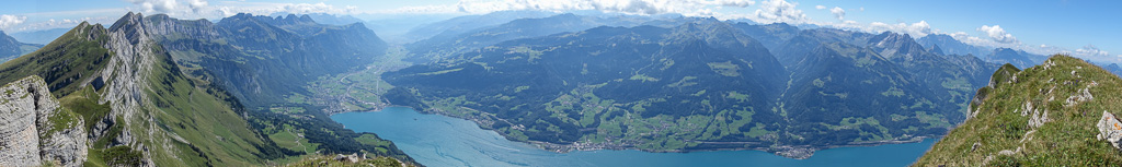
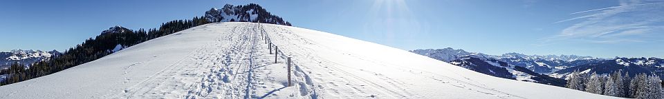
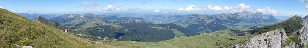
- Panorama South
-
- Panorama North
-
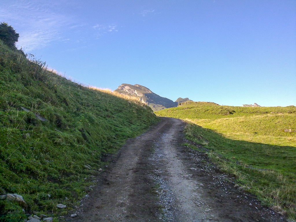
- Back down at abt. 1800m