Date: 08-11-2014 09:33-10:06 UTC![]()
The Regitzer Spitz is a fairly easy summit (T2) which can be reached from various directions. I choose to start at the military barracks of St.Luzisteig. Note: The first part of this trail runs through a military training ground / shooting range. If there are exercises held, the trail to Regitzer Spitz will be closed and you’ll have to start your ascent either from St.Luzisteig or Fläsch. This should however never be the case on weekends. The way up is unspectacular, following a wide and easy trail. On the top, there’s a rather large plateau with benches and a long guardrail, offering plenty of antenna building and operating possibilities.
Despite being a nice and mostly sunny day in early November, there was a cold wind on the top, so I was quite a bit frozen after half an hour of operating. The view is however spectacular overlooking the Rhine valley, with many surrounding SOTA summits to be seen.
QSO: 44 (1 on 40m, 43 on 30m)
S2S: HB9BAB/P (HB/ZH-015)
Rig: MTR, Par EndFedz 30/40
Hiking distance: 3.8 km
Hiking duration: 1h 7min
Ascent: 470m
-

- View from the parking. The actual summit is just right of the small peak in the center.
-
- Military training facility
-
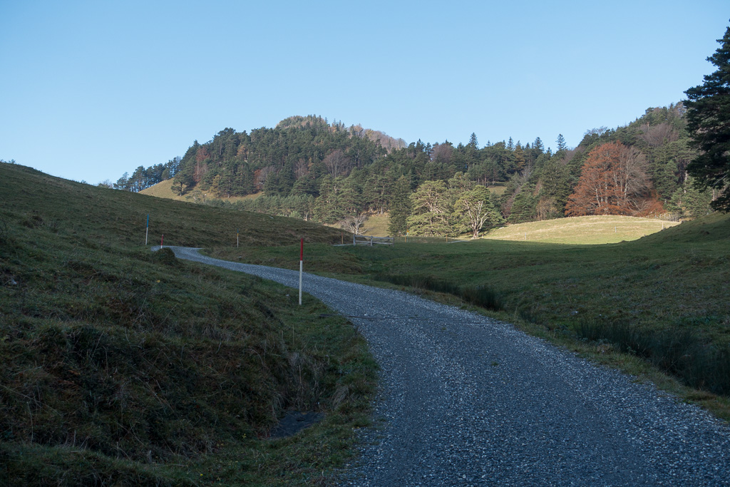
- The first part on the north flank was still in the shadow
-
- Here comes the sun
-
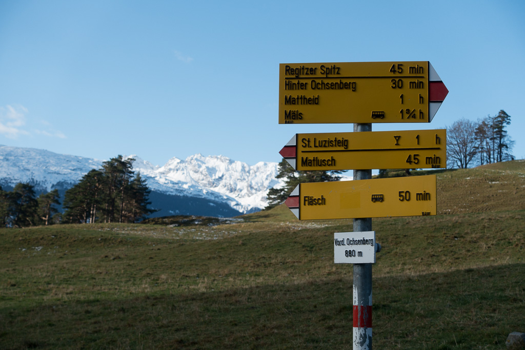
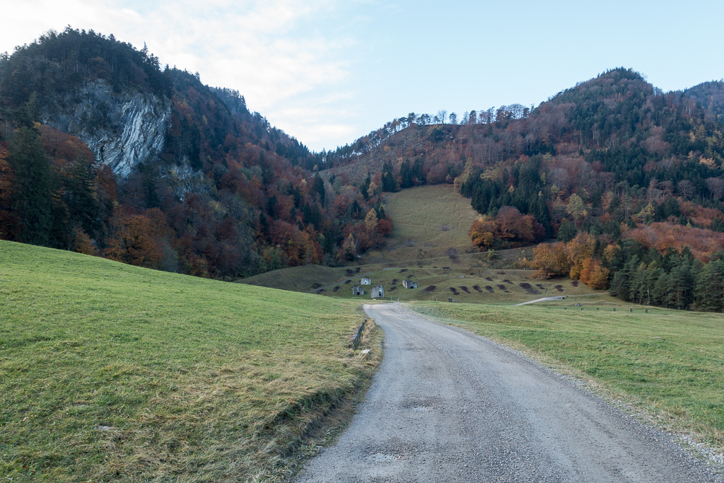
- Vorder Ochsenberg: About half way up
-
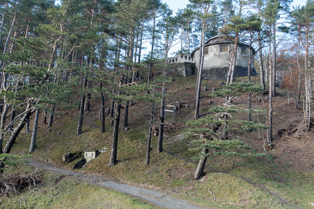
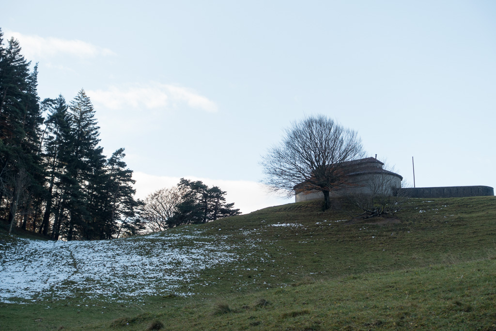
- Mysterious buildings, reminded me of the computer game ‘Myst’
-
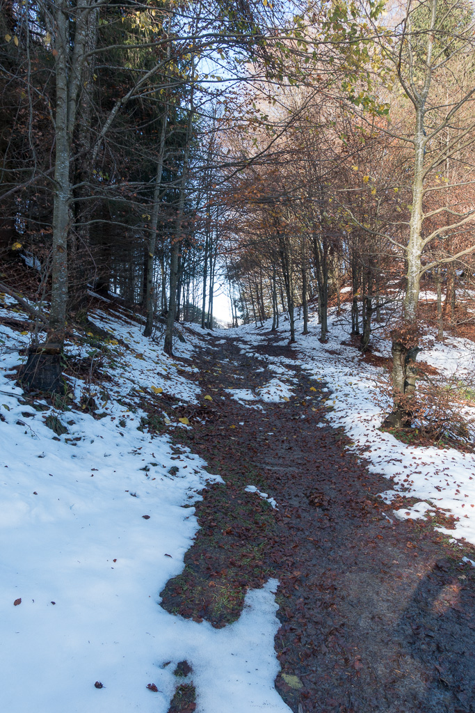
- First patches of snow near the summit
-
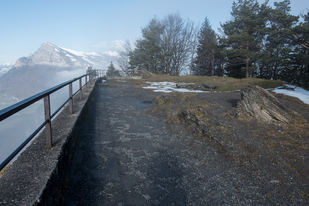
- Big plateau on the summit
-
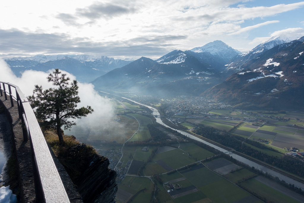
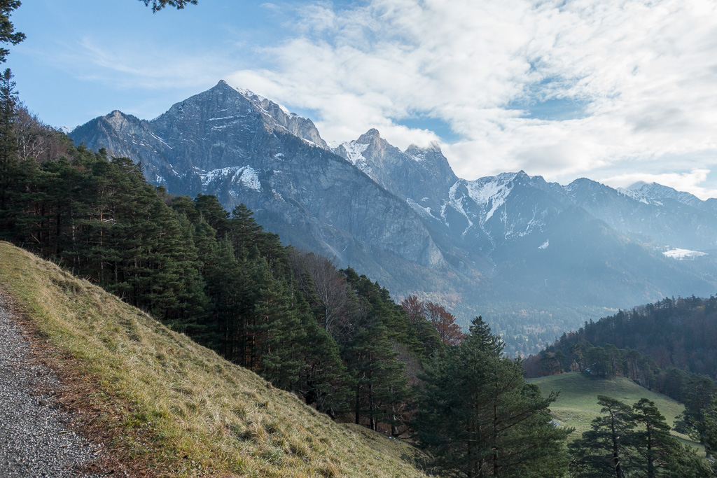
- Rhine valley towards Landquart
-

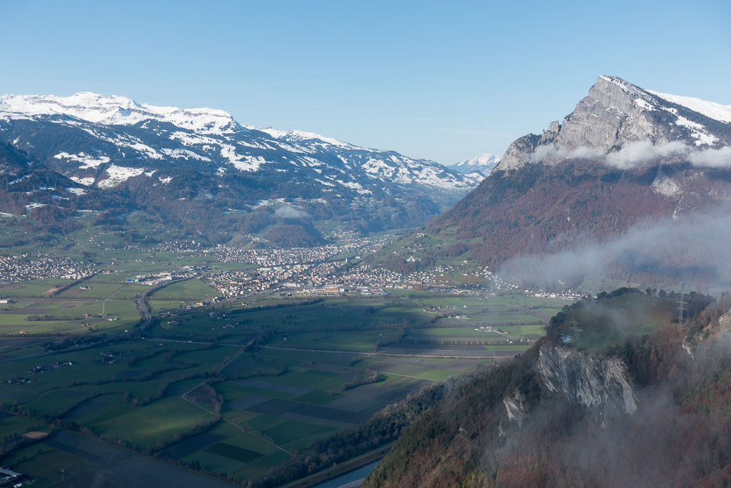
- From left: Pizalun (HB/SG-040), Chimmispitz (HB/SG-032), Haldensteiner Calanda (HB/SG-006)
-
- Sargans and Gonzen (HB/SG-030)
-
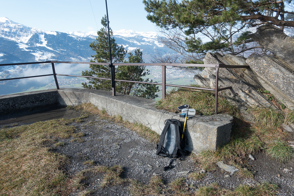
- Operating position
-
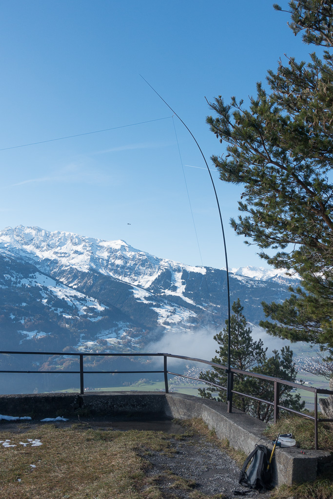
- End fed half-wave dipole
-
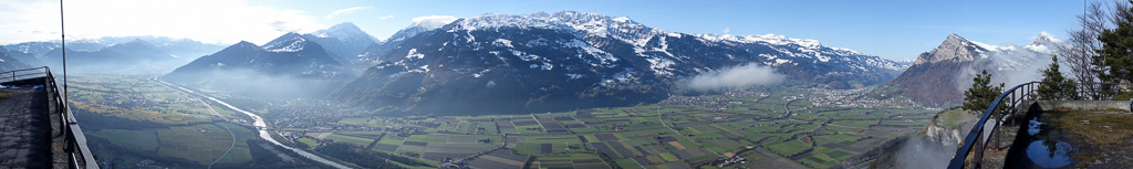
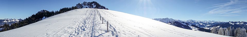
- Panorama SE-NW
-
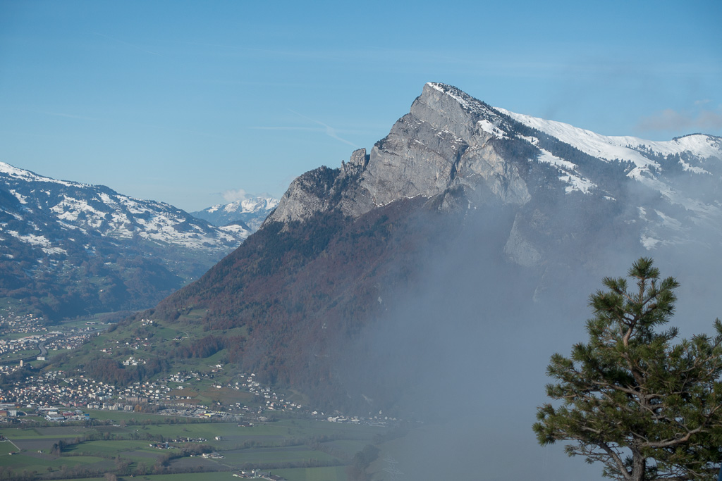
- Gonzen HB/SG-030
-
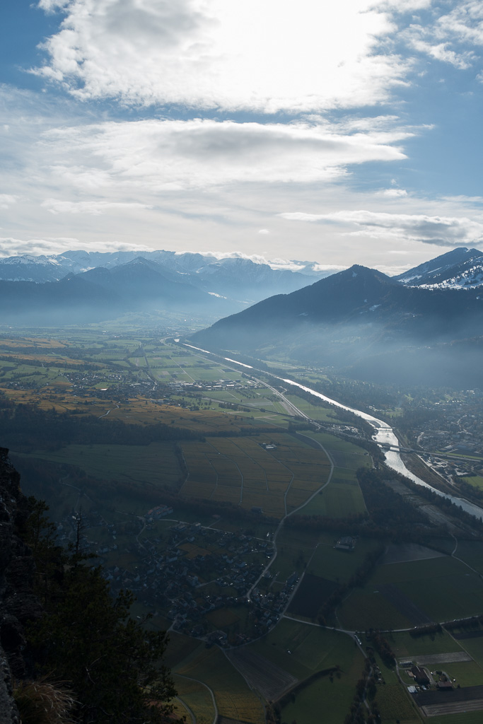
- Rhine Valley towards Landquart