Date: 03-08-2013 12:42-13:38 UTC![]()
This was the second activation on this day, after Rigi Kulm HB/SZ-021. The railway station ‘Rigi Kaltbad’ can either be reached by cogwheel railway from Viznau (shorter) or Goldau, or by cable car from Weggis. The latter is preferrable as it runs every 30min (railway only once every hour). From the railway station Kaltbad, the way remains almost flat until you reach the foot of the Dossen at Understette. From there it is a quite steep final ascent to the summit of about 230m (about 30min). On the way to Understette you can use the ‘Felsenweg’ (closed in winter), a path spectacularly carved into a vertical wall of rock with a great view to Lake Lucerne and its surrounding mountains. Once arriving at the summit cross, there’s a comfortable bench to put up your station. A highlight was the DX QSO with K4DY in North Carolina on 12m.
QSO: 46 (25 on 40m, 12 on 30m, 1 on 20m, 8 on 12m)
S2S: OH6FQI/P (OH/JS-010), HB9BQU/P (HB/OW-017), OK2PYA/P (OK/JC-018), OK1DDQ/P (OK/JC-002)
DX: K4DY on 12m
Rig: KX3, 12W, Ant: 10m Vert.
Hiking distance: 3.6km
Hiking duration: 1h 5min
Ascent: 258m
Descent: 35m
-
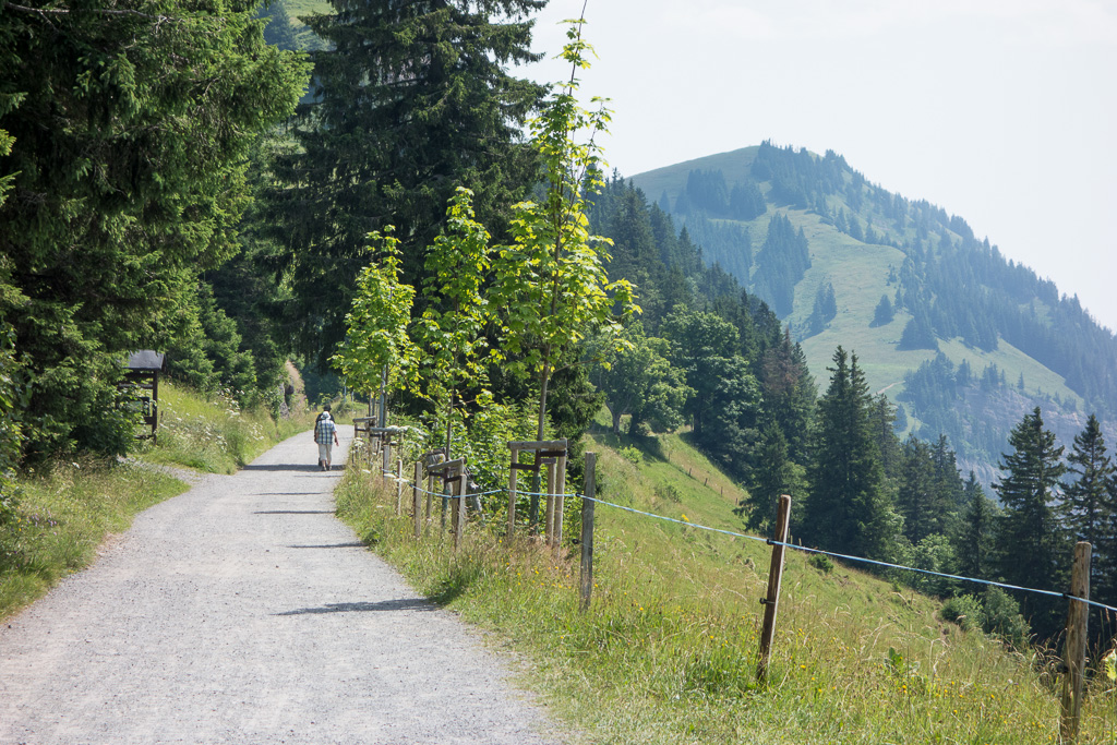
- Todays Summit, shortly after leaving the railway station.
-
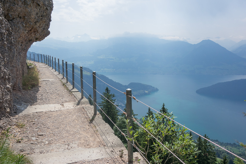
- The Felsenweg is spectacular, however closed in winter.
-
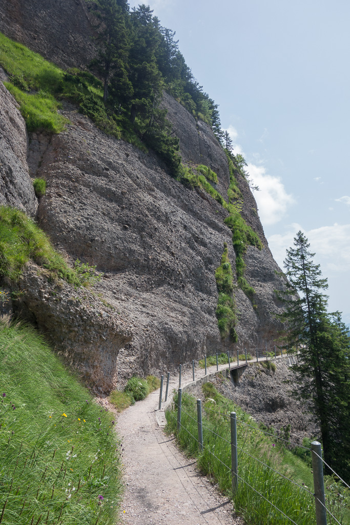
- Felsenweg carved into the mountain…
-
- …offering a nice view of Lake Lucern
-
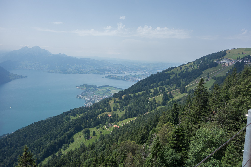
- Left in the background: Pilatus HB/NW-011
-
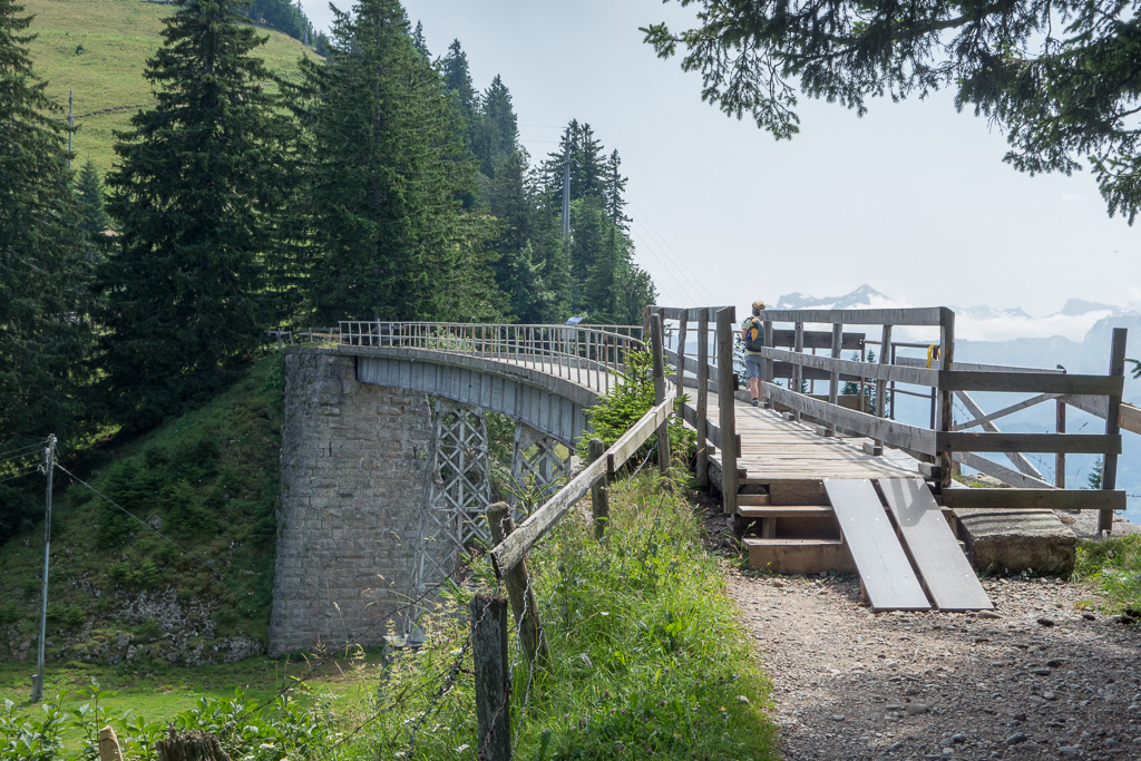
- This bridge is located shortly before the final ascent.
-
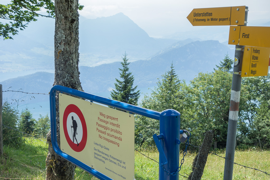
- Start of the final ascent at Understette.
-
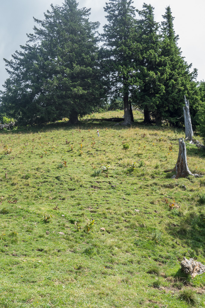
- Up and up…
-
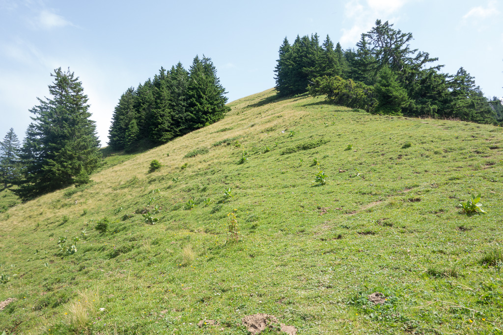
- …almost there…
-
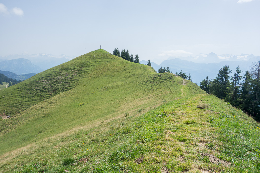
- The summit is near.
-
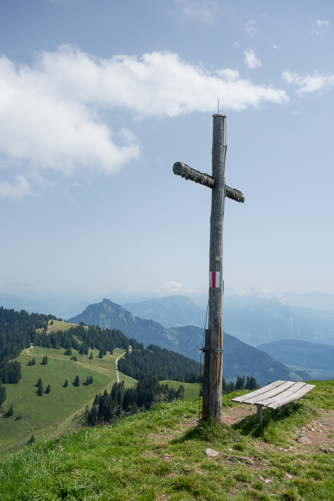
- HB/SZ-035 Summit
-
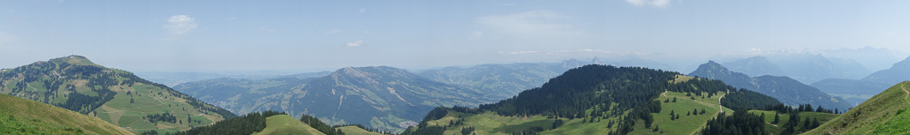
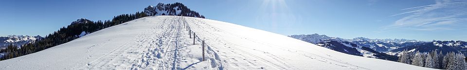
- Panorama to NE
-
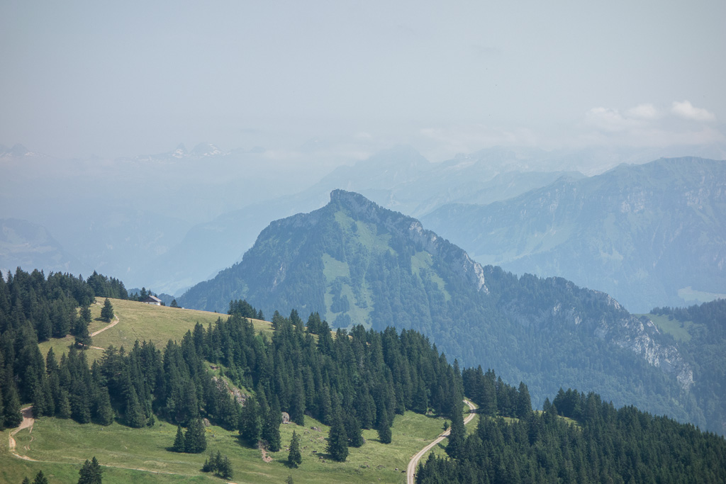
- Rigi Hochfluh, HB/SZ-023
-
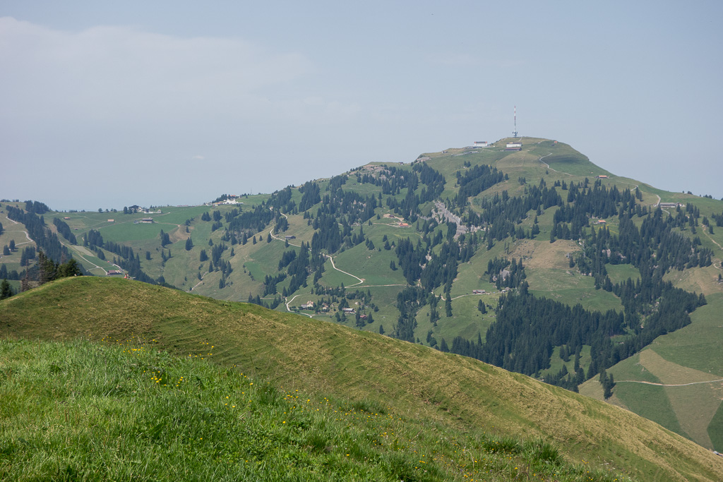
- Rigi Kulm, HB/SZ-021
-
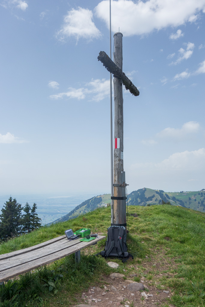
- Summit QTH
-
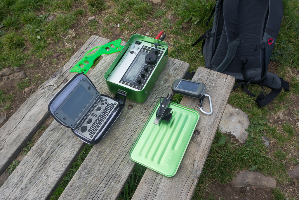
- KX3 in GoBox, Garmin Oregon 450t, OpenPandora logbook