Date: 16-03-2013 15:51-15:57 UTC![]()
Second activation this day after Schlierengrat (HB/OW-021). Although there was a path on the map leading from Schlierengrat down to the valley (Schlierental), it was not visible due to high snow. I hoped to find some tracks from previous hikers, but there were none. So I used the GPS to descend as close to the original path as possible. Walking down the untouched snow surface with snowshoes was a great experience. Once down in the valley, I followed the main trail for about 1km to the south-west, before turning left to the path leading up to Jänzi. I was already quite exhausted from all the hiking, but fortunately the ascent was quite moderate. I reached Jänzi about 16:40 local time, so I had to hurry up (11 QSOs in 6 minutes) to make it back to the parking lot at Langis before dusk.
QSO: 11 on 30m
Rig: KX3, 10m Vert., 10W
Hiking distance: 7km (from Schlierengrat)
Hiking duration: 2h 30min (from Schlierengrat)
Descent: 410m
Ascent: 395m
-
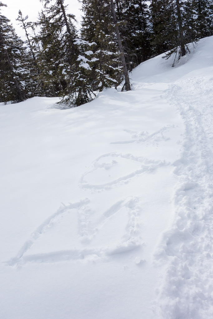
- Secret message on the way up to Jänzi
-
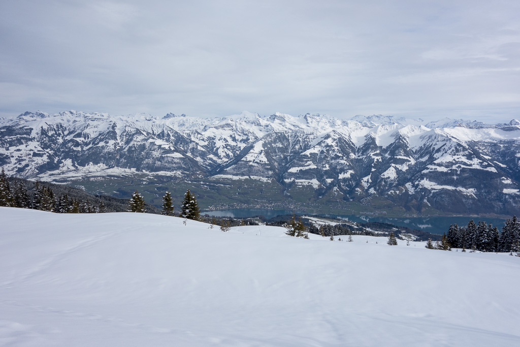
- Beautiful view from the summit plateau down to Lake Sarnen
-
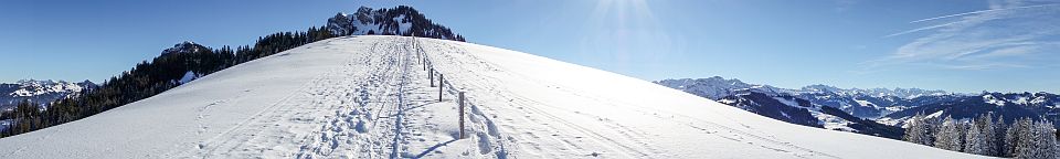
- Almost there…
-
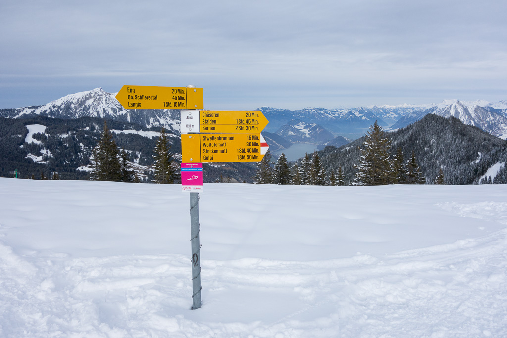
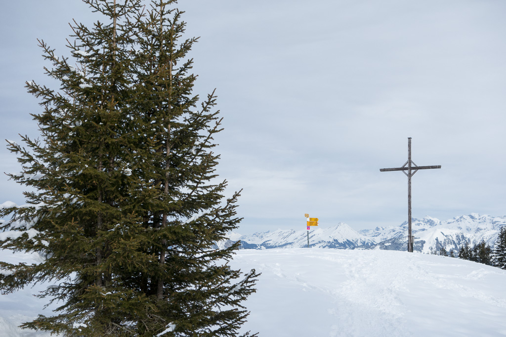
- Top of Jänzi
-
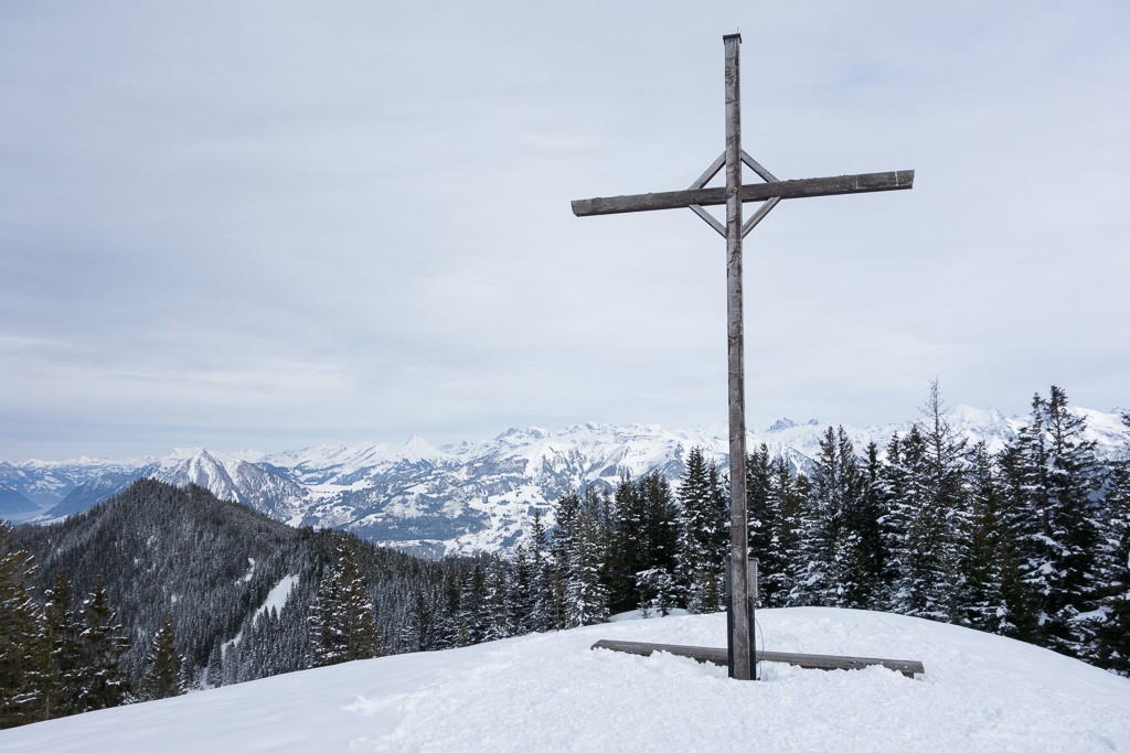
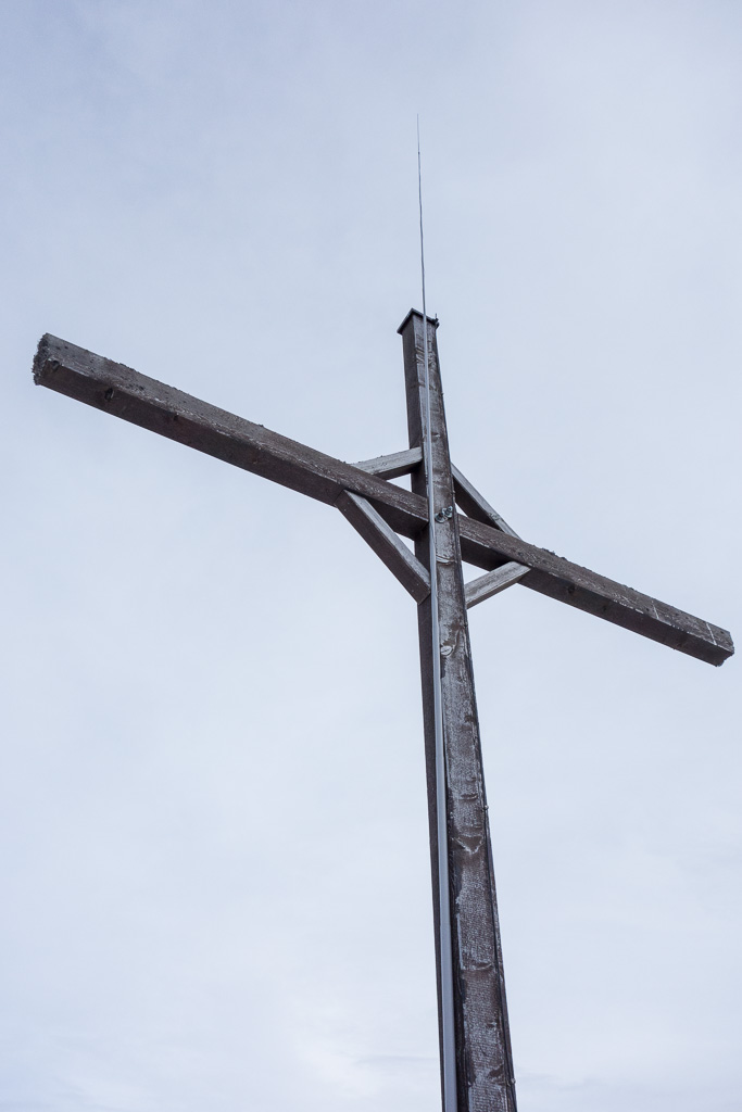
- Summit Cross
-
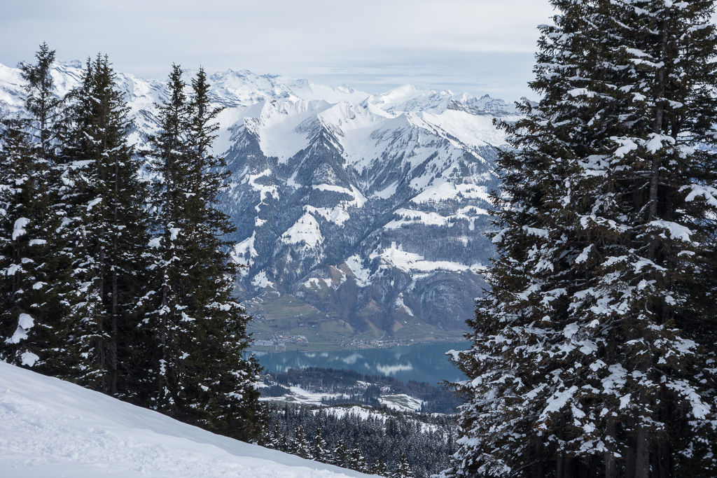
- Lake Sarnen
-
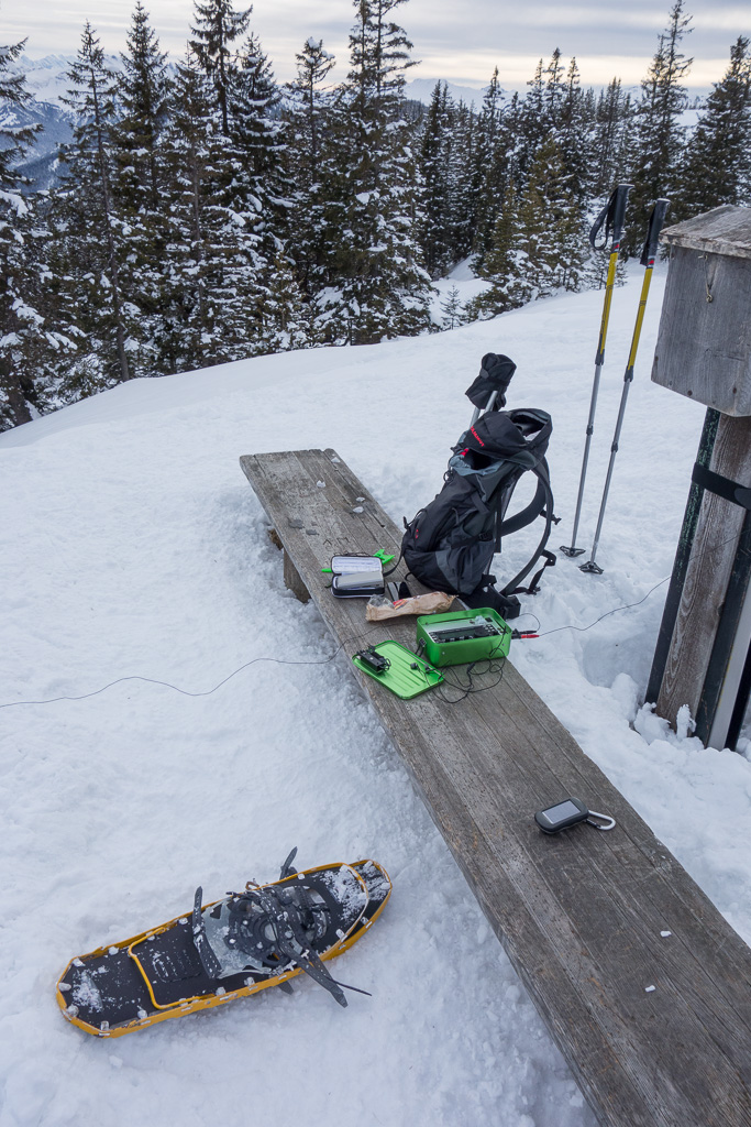
- Summit shack
-
- Convenient support for the mast…