Date: 7-09-2013 11:07-12:59 UTC
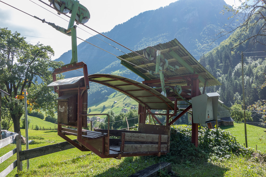
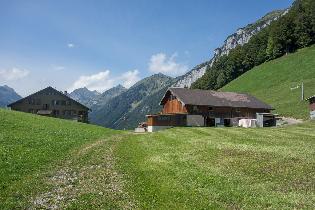
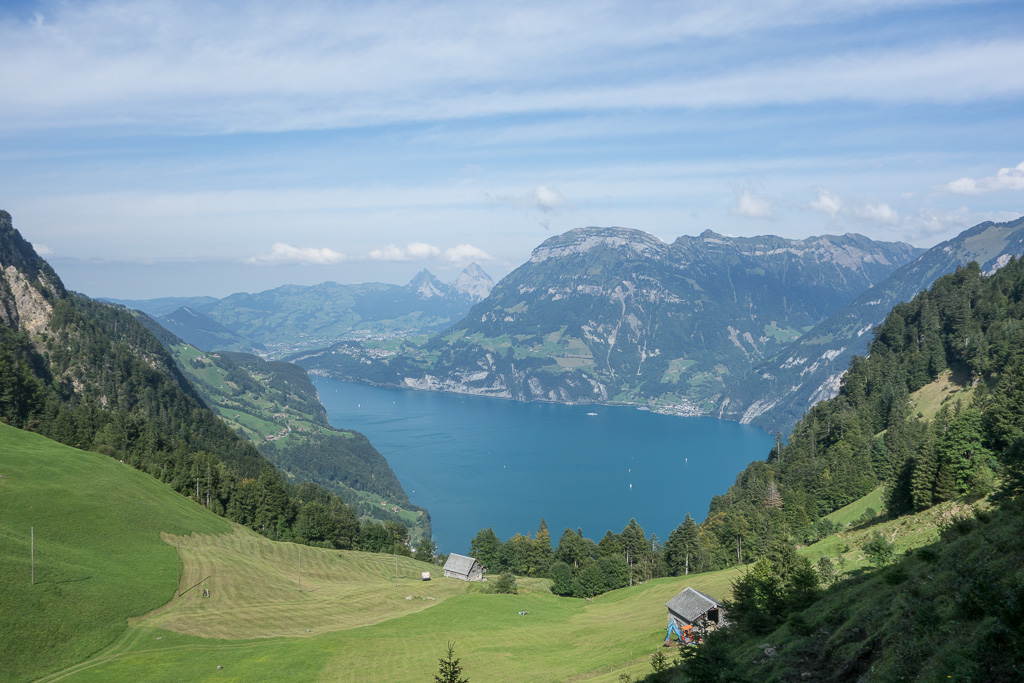
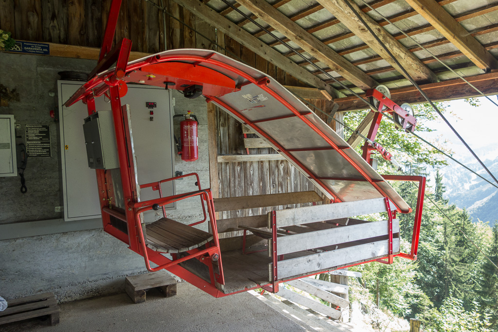
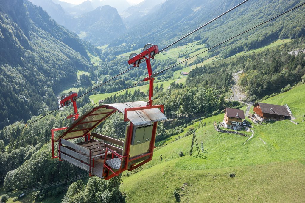
The road up from Lake Lucerne up to Isenthal is breathtaking. It is carved into an almost vertical wall of rock and offers a stunning view down to the lake and the surrounding mountains. There is also a public bus stop very close to the cable way, so this summit can also easily be reached using public transport. There is also space for about 2-3 cars just next to the cable way. The valley station of the cable way is unmanned; you have to use the phone to ring up and state your wish to be lifted up. Then hop in, and off you go. Once on the top, nobody was at the summit station either, so after some time I decided to walk to the nearby farm house. And sure enough: the farmers dog announced me, and very soon his wife showed up to collect the fare (CHF 7.- two way).
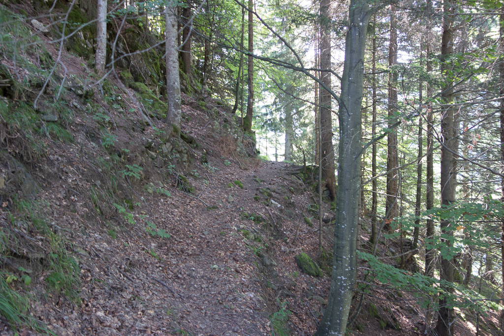
From the farm, the summit is only about 30min on foot. The lower part was a bit wet an slippery, but this improved once the path entered the forest. Enjoy the view down to the lake at this point, as the rest of the way is in the forest and there’s not much to be seen.
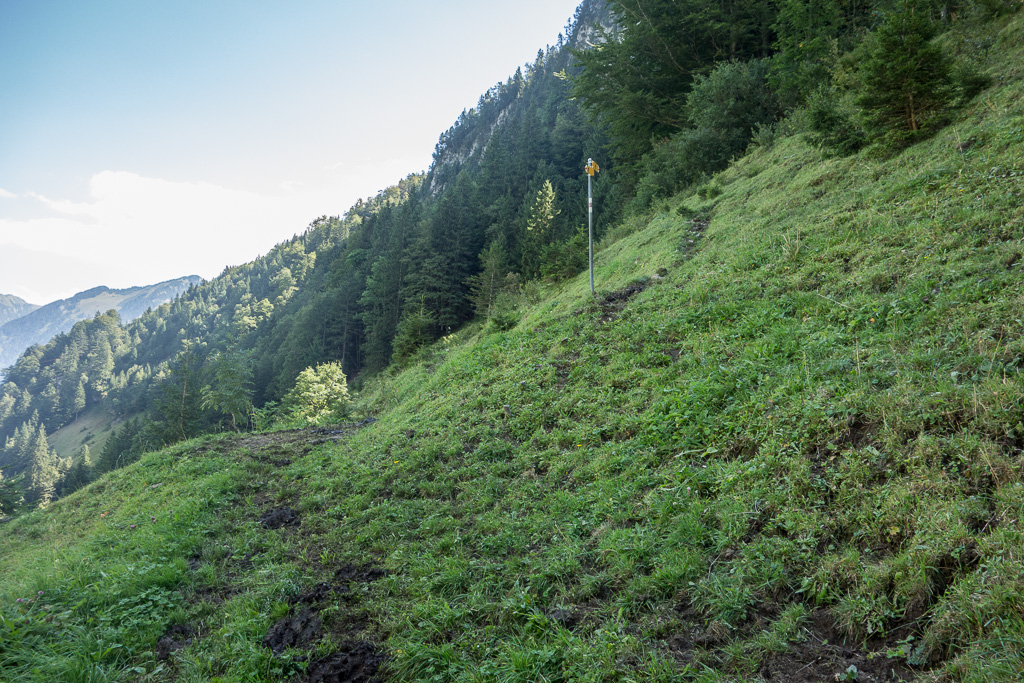
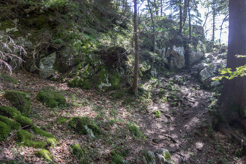
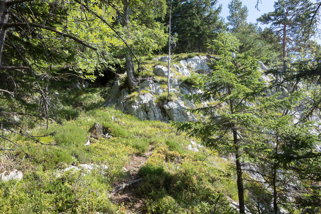
At one place, the marking for the path was worn out and it was not clear how to proceed (see photos below, it’s the less obvious path straight on over the rocks). On the ridge, there was one or two spots where I felt a tiny bit uncomfortable (terrain dropping sharply just left and right of the path), but it was never technically difficult.
The summit was quiet and undisturbed, there was only one hiker’s couple during the two hours I stayed. As I had some time on my hand, I chased some S2S (got 11 in the end). I was lucky that day and achieved my first intercontinental S2S QSO (with W4ZV/P on W4C/EM-047 in North Carolina).
QSO: 63 (40 on 40m, 19 on 30m, 2 on 20m, 1 on 17m, 1 on 12m)
S2S: HB9BCB/P (HB/BE-157), OK1NF/P (OK/JC-024), G4ASA/P (G/TW-005), OK1CZ/P (OK/JM-041), DL/LX1NO/P (DM/RP-311), DL/PA0SKP/P (DM/NW-185), OK1HCD/P (OK/PL-037), LA1ENA/P (LA/TM-046), HB9BIN/P (HB/AR-004), W4ZV/P (W4C/EM-047), OH2NOS/P (OH/JS-066)
Rig: KX3, 12W, Ant: 10m Vert.
Hiking distance: 1.2km
Hiking duration: 32min
Ascent: 185m
- Old cable car, no longer in service for person transport
- Gandispitz
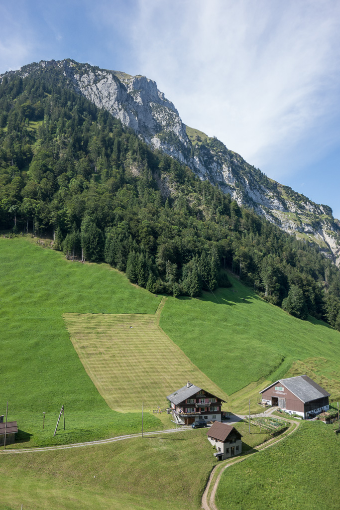
- Furggelen Farm
- Wet and muddy on the lower part
- A bit better in the forest.
- Here the path markings are worn out. The right way is not to the left, but to the right over the rocks.
- Start of the ridge: final ascent to the summit.
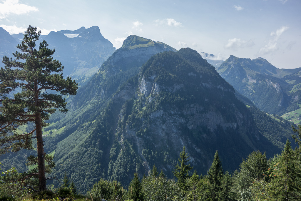
- Uri-Rotstock (HB/UR-041) in the background left
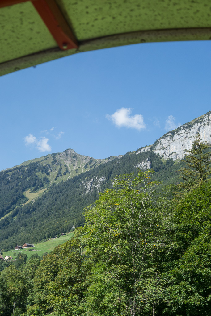
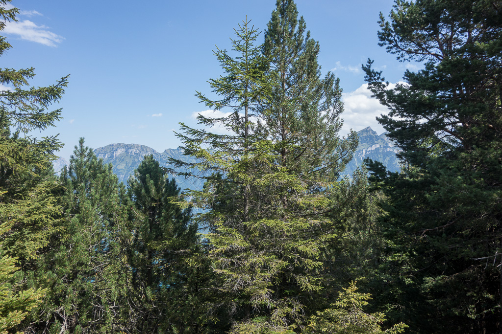
- View from the summit. To the left is HB/SZ-018 Fronalpstock.
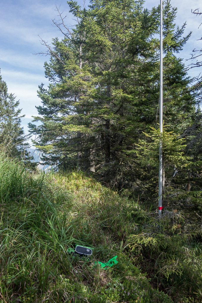
- Summit QTH
- View of Lake Lucerne and Fronalpstock HB/SZ-018
- Lower part of HB/NW-012 Oberbauenstock
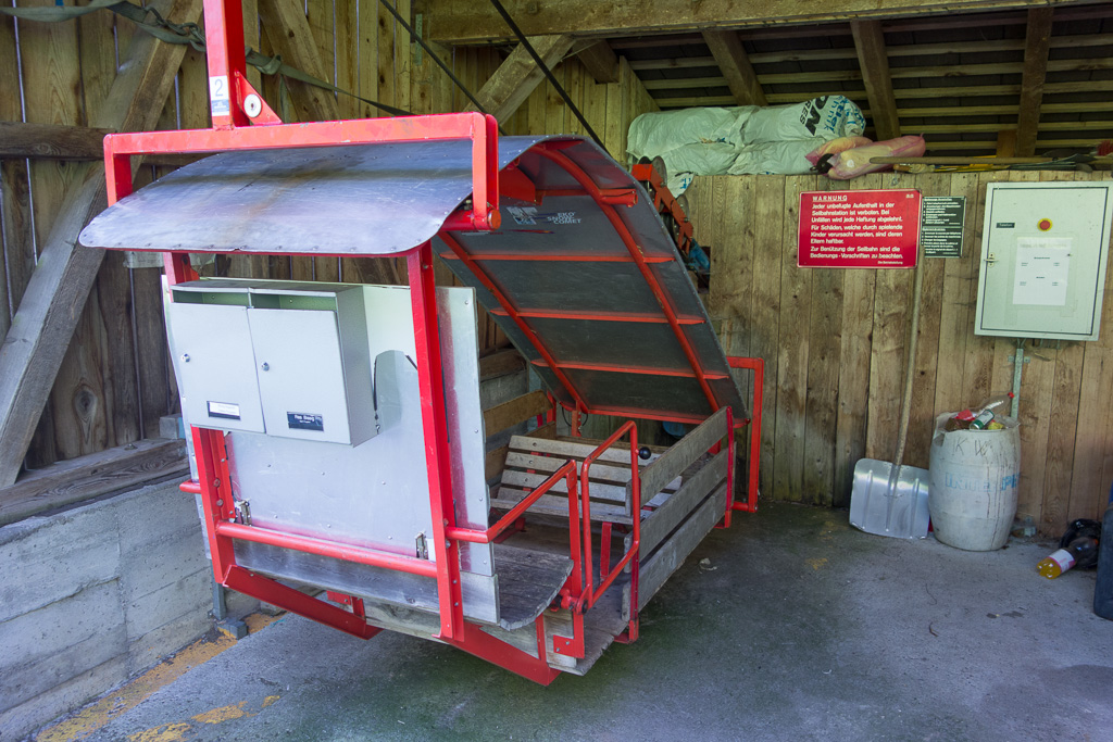
- Cable way (max 3 persons)
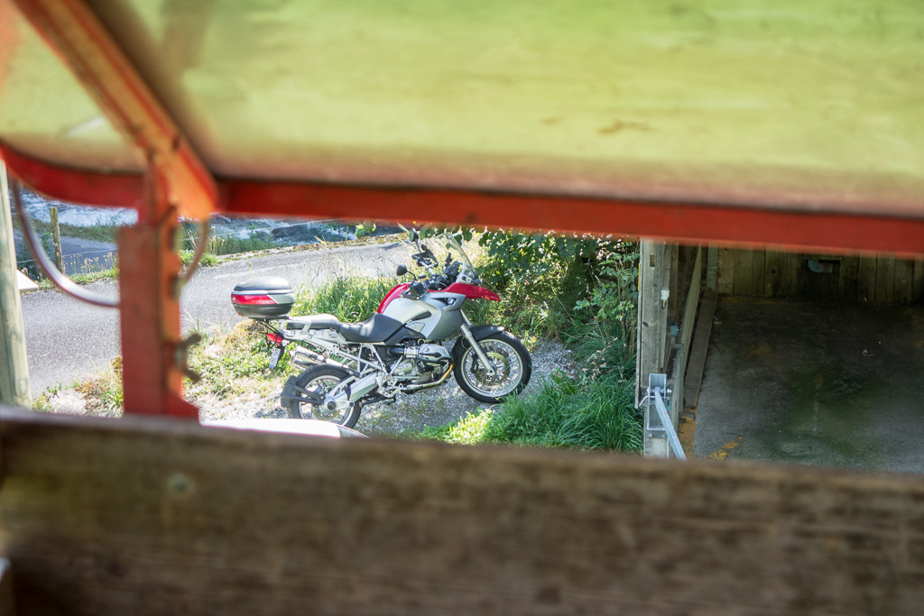
- My trusty ride home waiting for me patiently.
- Note the mailboxes for the mountain farmer!

